
Modern design, engineering and construction rely heavily on accurate as-built data. Unfortunately, such data is not always accessible.
Engineering
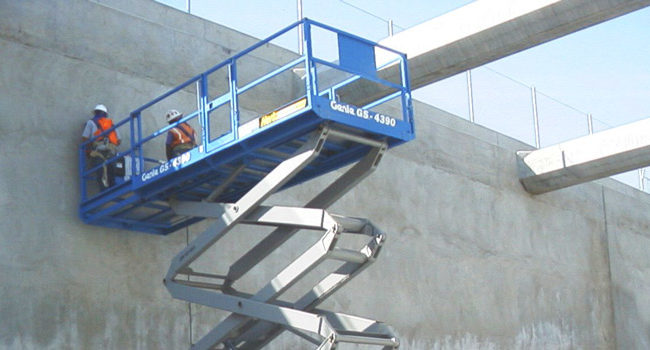
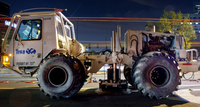
Best practice engineering has long relied on geophysical tools to better characterize geology, subsurface structures, conditions and anomalies, and their physical properties.
Environmental
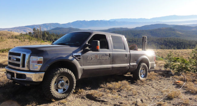
Geophysical technologies provide sub-surface imaging capabilities that can be successfully applied to a wide variety of environmental projects.

Borehole Logging
Borehole investigations are indispensable for geotechnical site characterization. Geophysical studies add broad dimensions of data and information to routine logging and sampling.
Geology/Hydrogeology
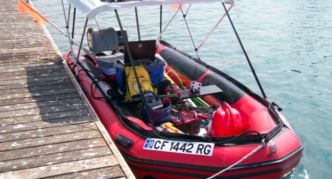
Better understanding of subsurface geologic conditions can be critical for solving environmental and engineering problems. Geophysical methods provide cost-effective data between boreholes, or can be used to better site a borehole or well location.

Utility Location and Mapping
Prior to drilling or trenching, a surface geophysical utility survey should be carried out. Accurate location, marking and mapping can help prevent damaging or disabling underground utilities, piping and cabling.