
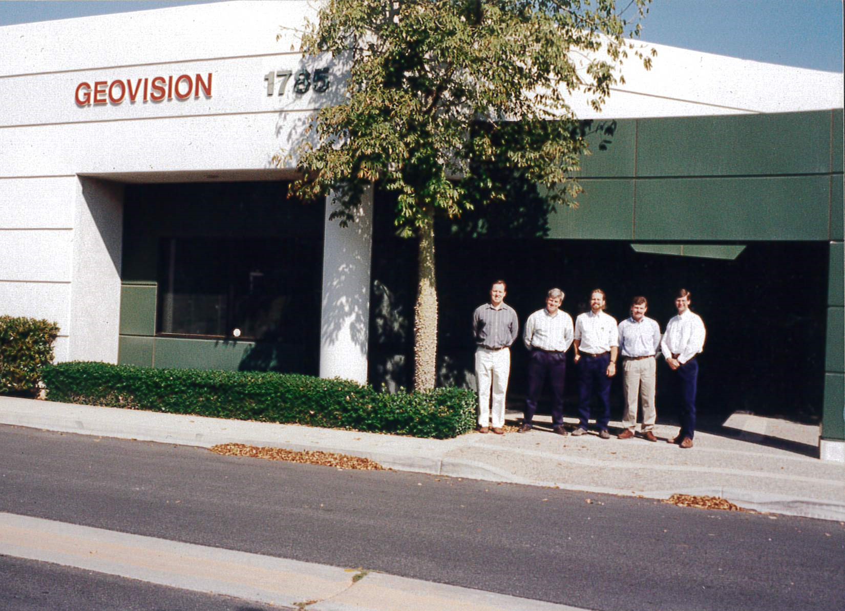
GEOVision founders outside the first office in 1995

Since May 1995 GEOVision has specialized in the application of geophysics to engineering and environmental investigations.  GEOVision also applies geophysics to other shallow investigations such as archaeological and ground water exploration.  GEOVision is dedicated to providing geophysical consulting services to assist clients on environmental, engineering, and other shallow investigations.  We offer state-of-the-art geophysical services using the most modern techniques and instrumentation to provide cost effective solutions to our client’s projects.

GEOVision’s services include geophysical measurement, analysis, and monitoring.  We specialize in non-invasive methods of investigation that help reduce the overall cost and liability in engineering and environmental projects.  The use of geophysics can provide a better understanding of the source, location, and migration of subsurface contaminants; subsurface geologic and hydrologic conditions; subsurface infrastructure; engineering properties of soil and rock; and earthquake hazard.
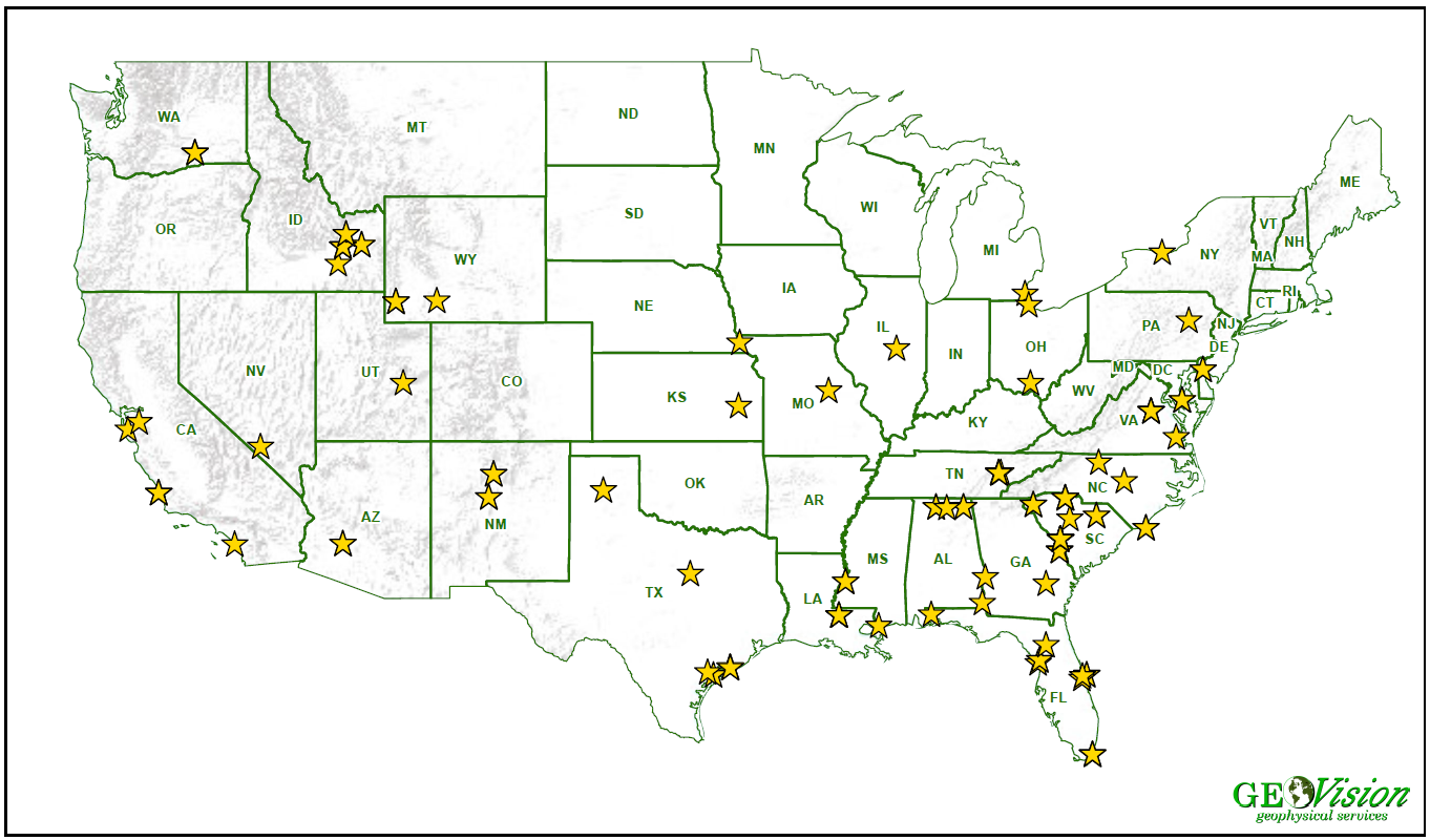
Nuclear Power Plant Projects


GEOVision’s experience performing geophysical services at nuclear plants stretches back to 1992, even before the company was formed as a unique entity, performing borehole P-S Suspension logging for the USGS and the Department of Energy at the Savanah River site in Aiken, SC. Since that time, as shown in the graphic above, GEOVision has performed over 120 projects at nuclear sites, not only in the United States, but also in Canada, the Middle East, Asia, and Europe.

The founders of GEOVision started their careers during the 1980s calibrating seismic instruments at nuclear plants across the US. This experience managing procedures, training, and instrumentation in an NQA-1 environment has proven to be invaluable in creating the multi-level capabilities GEOVision exhibits today.

Training records are meticulous, and each geophysicist and technician are carefully shepherded through individual development to learn how to acquire and process high quality data with the latest approved procedures and calibrated equipment.

Experience is reflected in the maturity of field forms and procedures, carefully designed and managed to remove ambiguity, and establish clear records that document adherence to requirements. There is no substitute for getting things right the first time.

“GEOVision exists because people must rely on the best data integrity to properly understand the earth we build on.  Those who build the best, depend on the best.”

Jack Morehouse