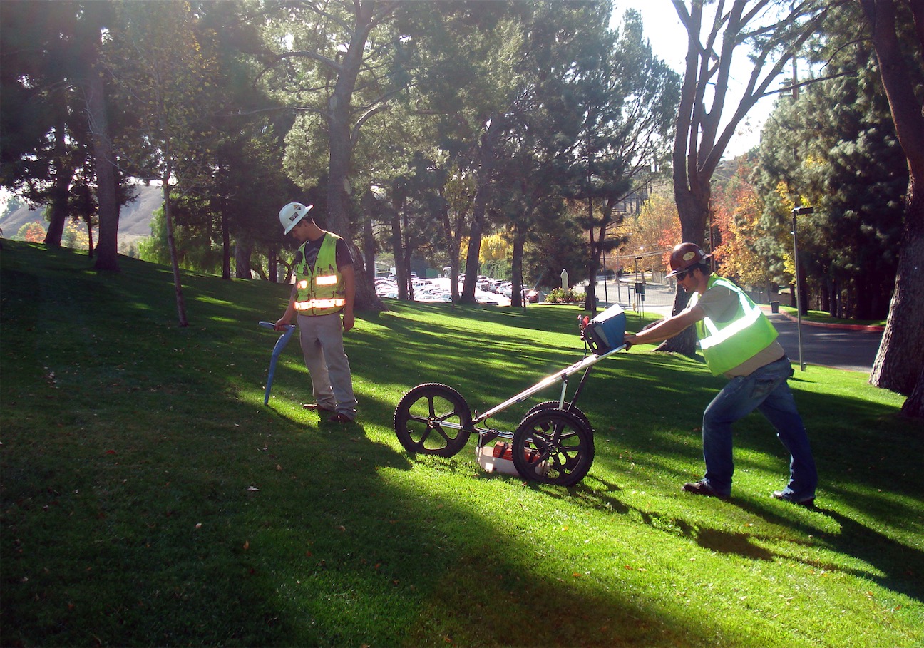
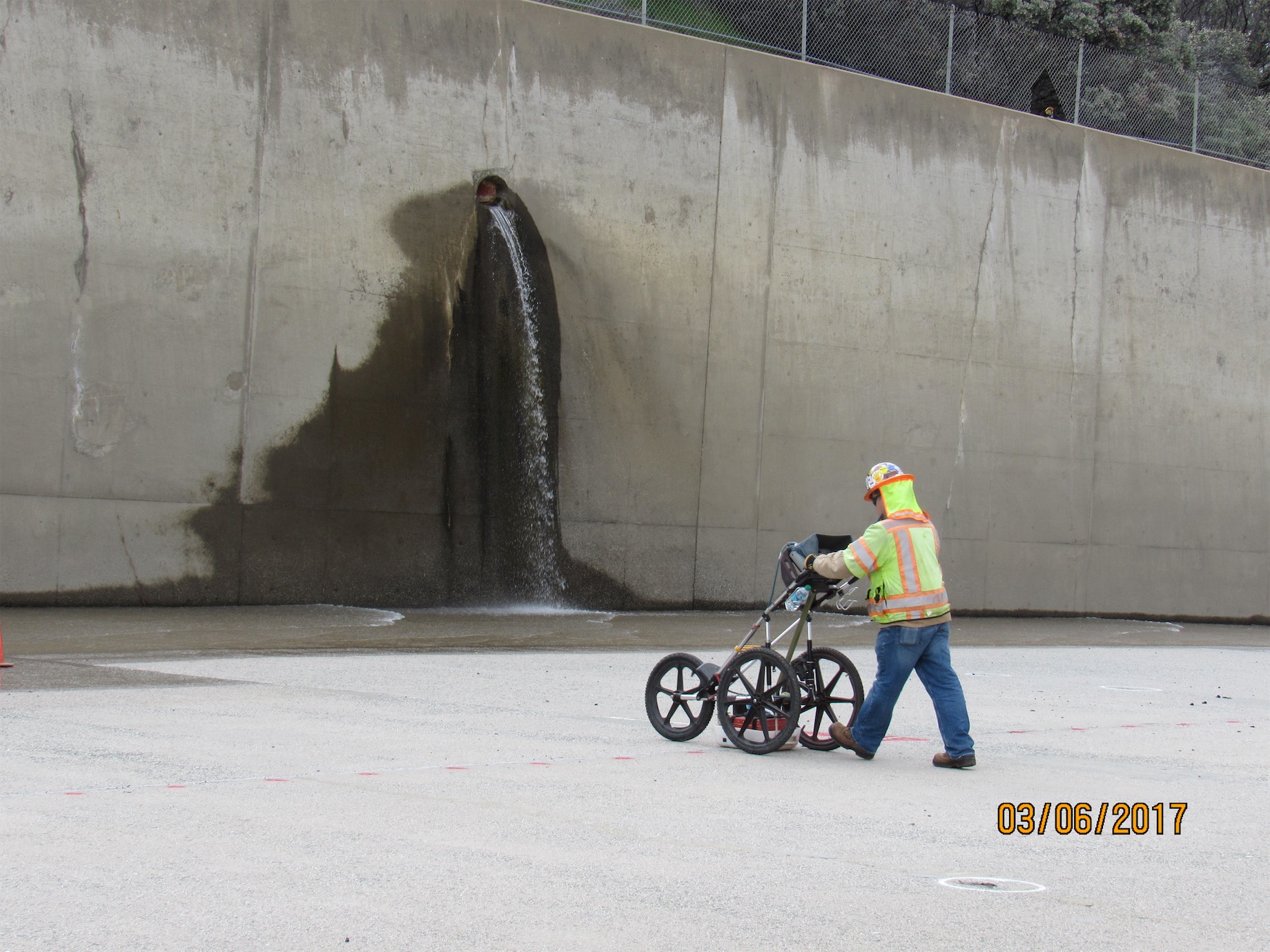
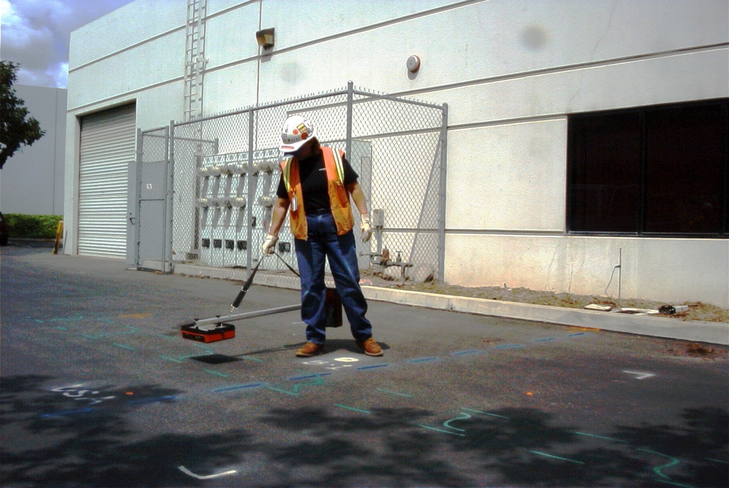
Utility Locating
- to clear proposed boring, trenching, and excavation locations
Utility Mapping
- to create an invaluable CADD layer for better property planning, design and development
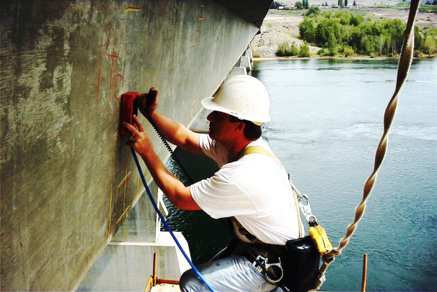
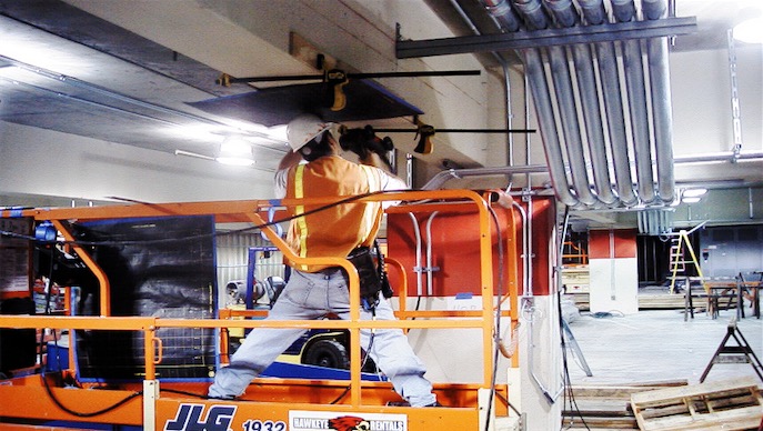
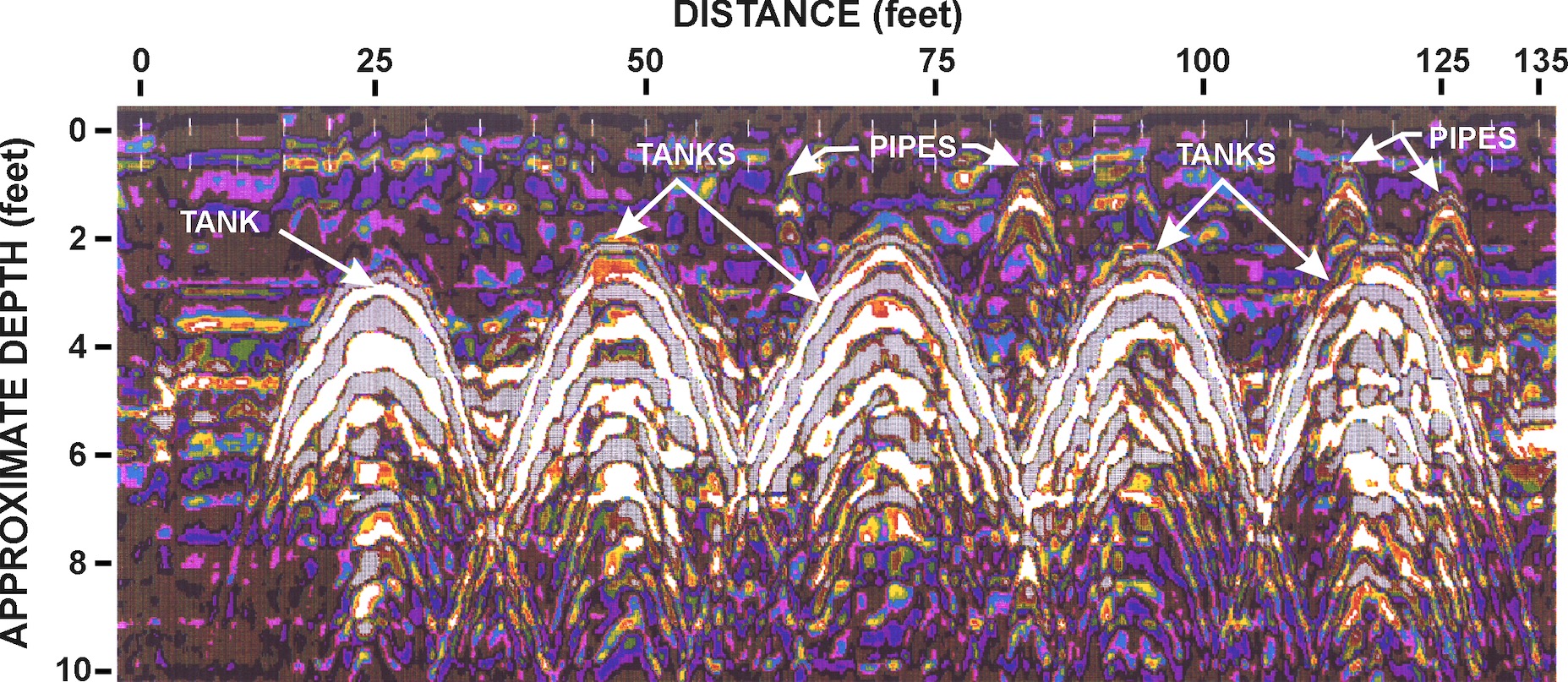
Sub-Surface Imaging to:
- find buried structures
- determine depth to utilities, rebar, pipes, buried concrete pads
- Identify air/water filled voids in or behind concrete
- Map rebar position
- Determine concrete thickness
- Identify rock pockets within concrete
- Identify grouted voids
- Determine rebar corrosion/concrete condition
- Map and define conduits and utility cables within concrete structures
EM, Mag and GPR
- to locate abandoned structures, such as vaults, buried foundations, piles, leach fields, septic pits, tanks and oil wells (see also Environmental)